Geography


Exploring Mountains Through Contour Lines

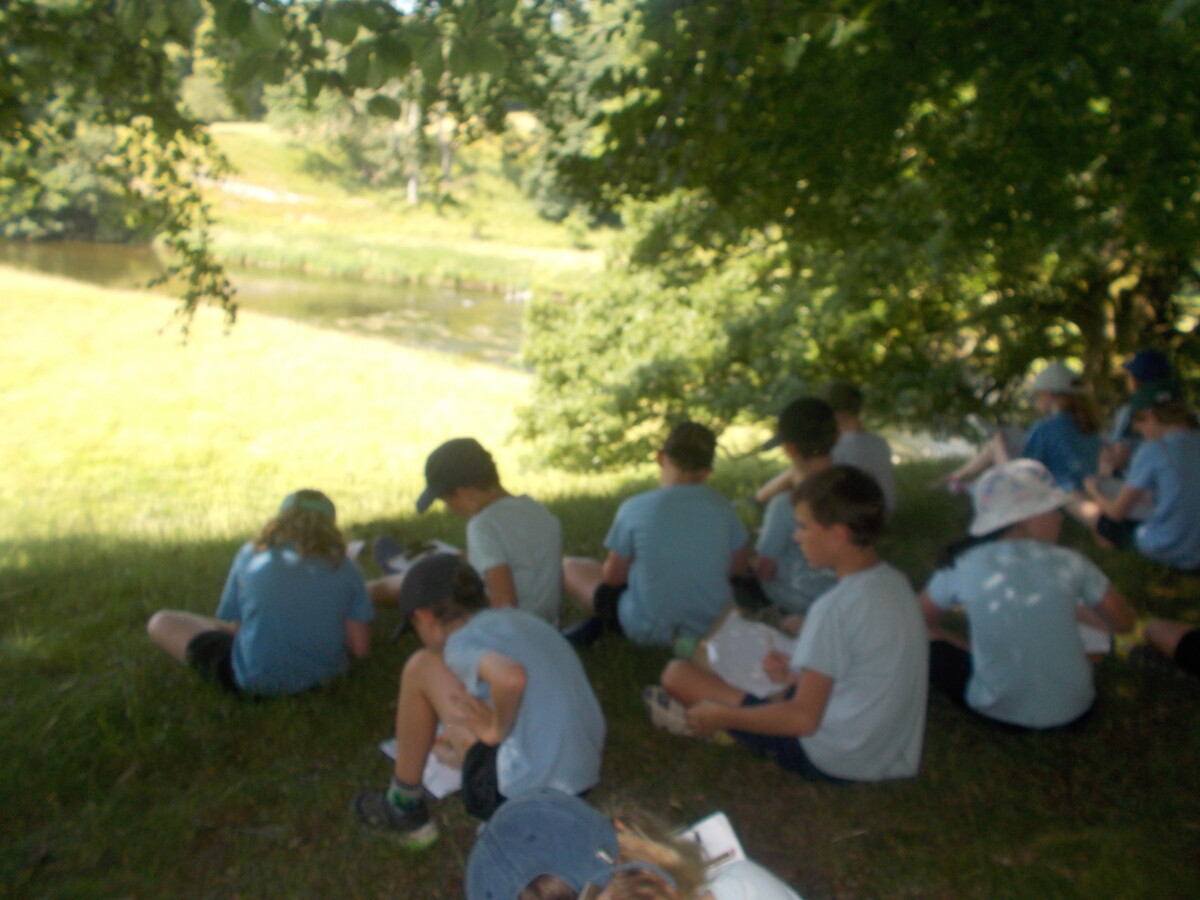
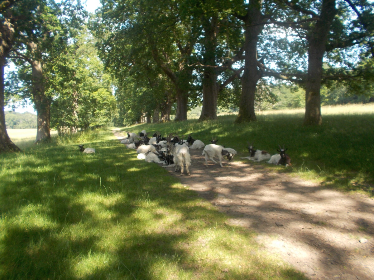
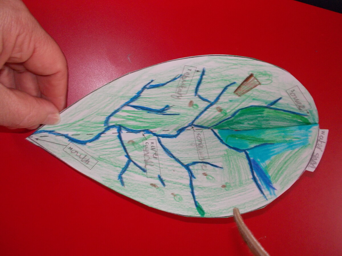
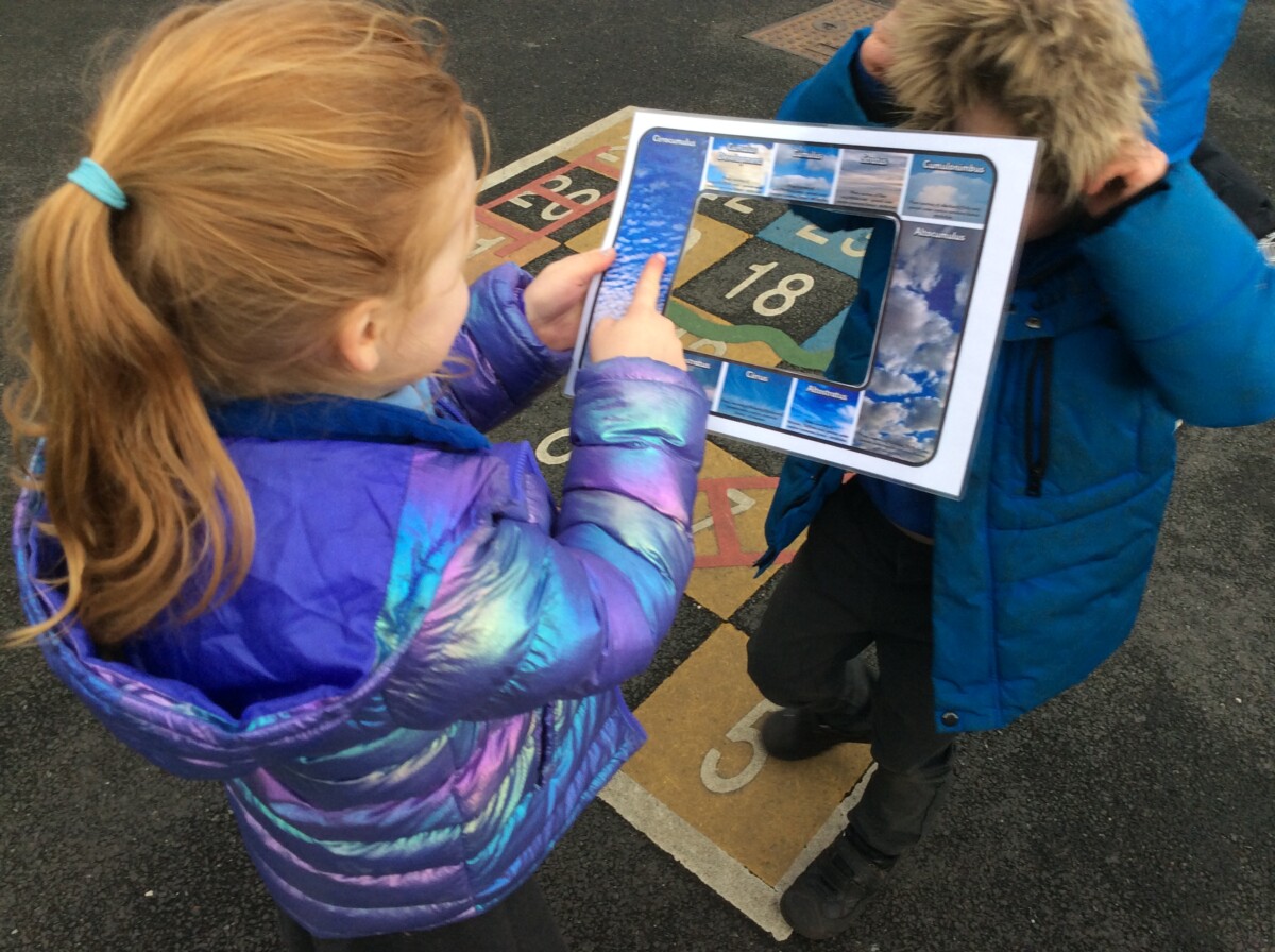
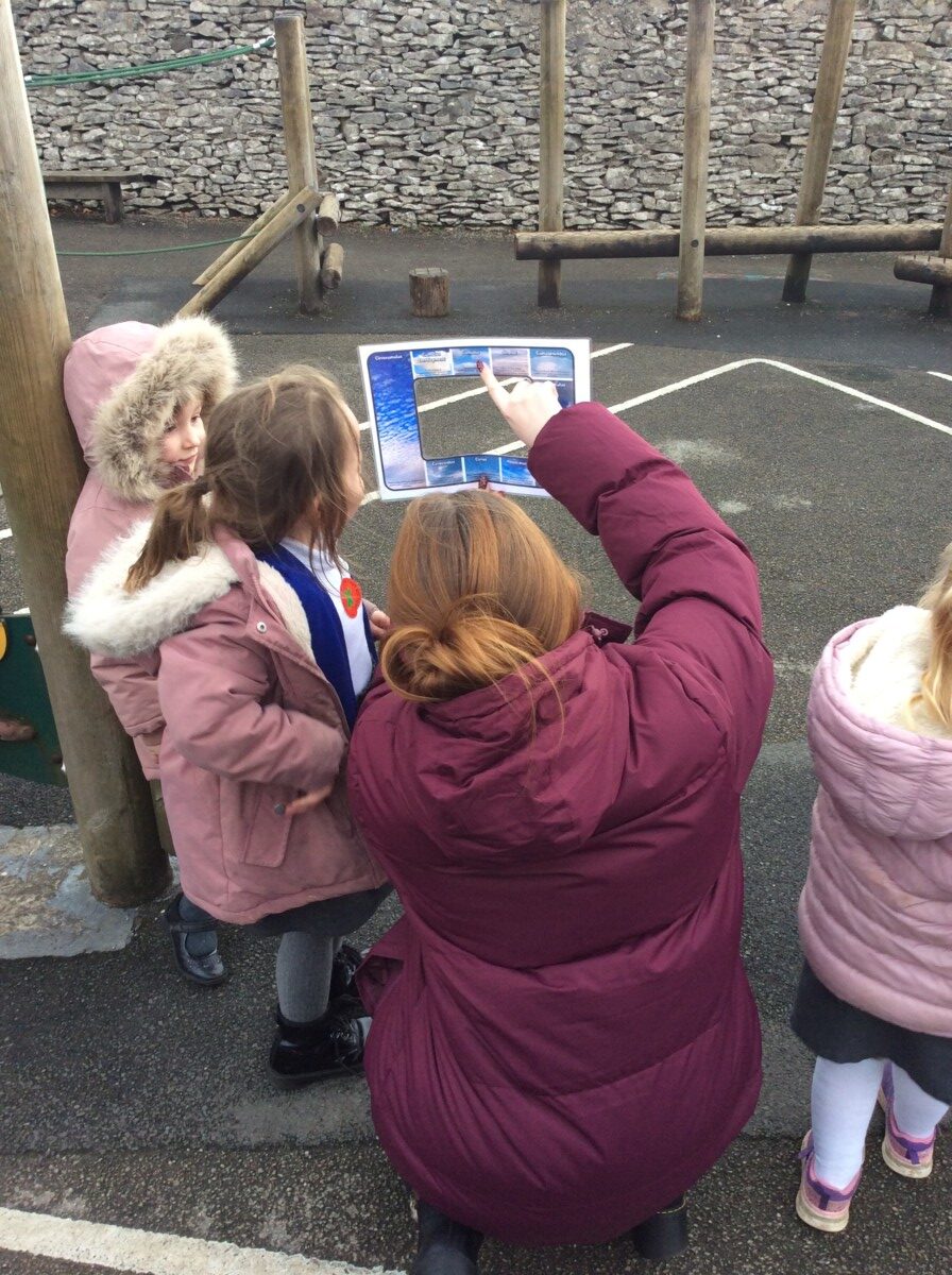
This term, our geography learning has taken us on an exciting journey into the world of maps and mountains. We have been studying contour lines and learning how they are used to show elevation and height on maps.

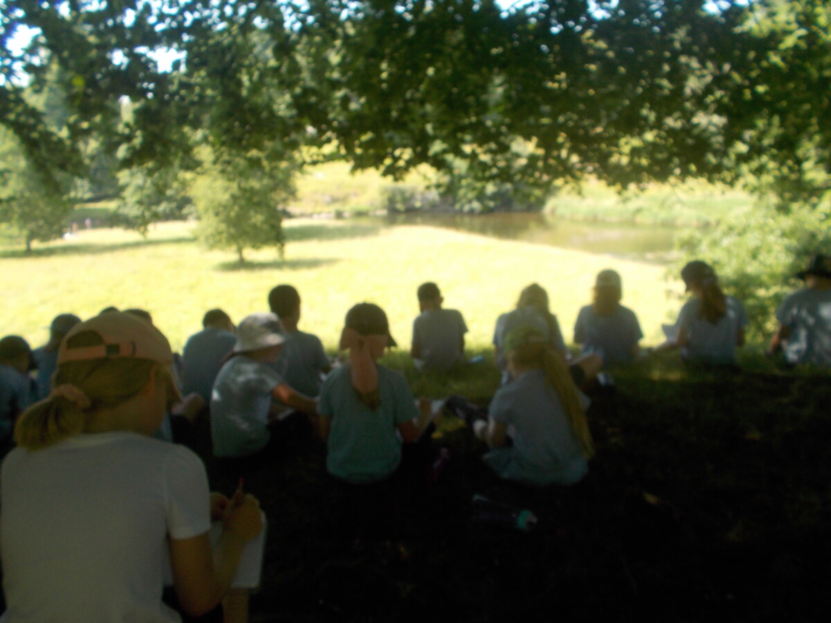
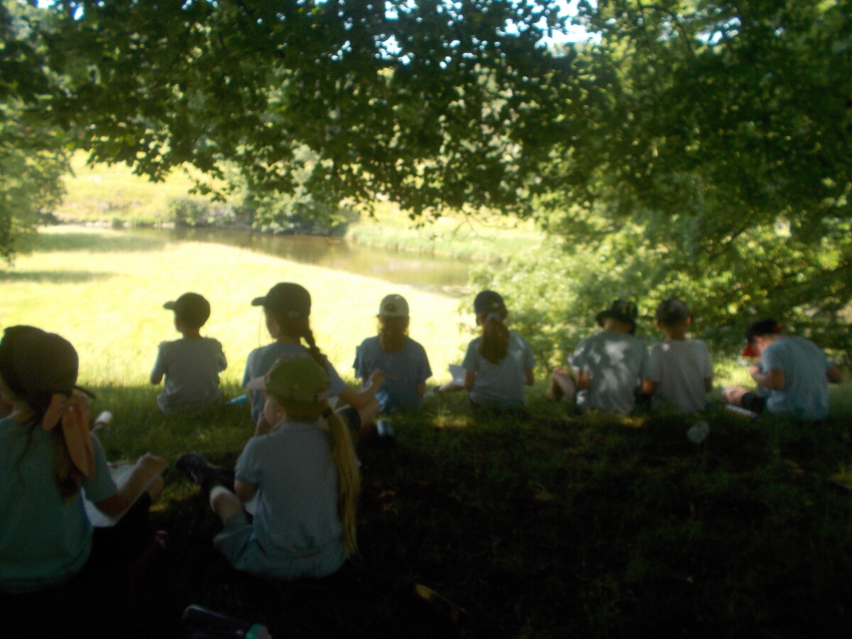
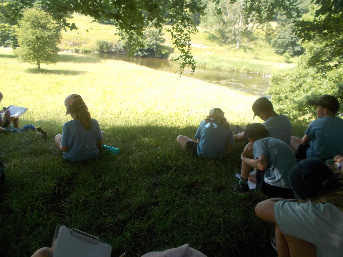
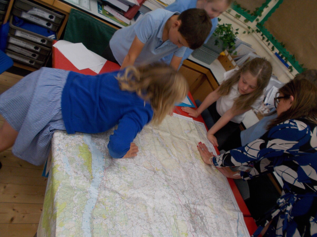
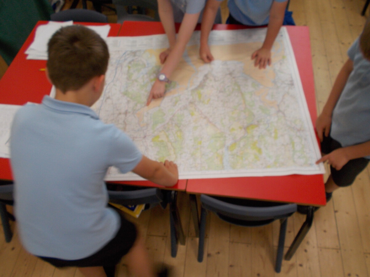
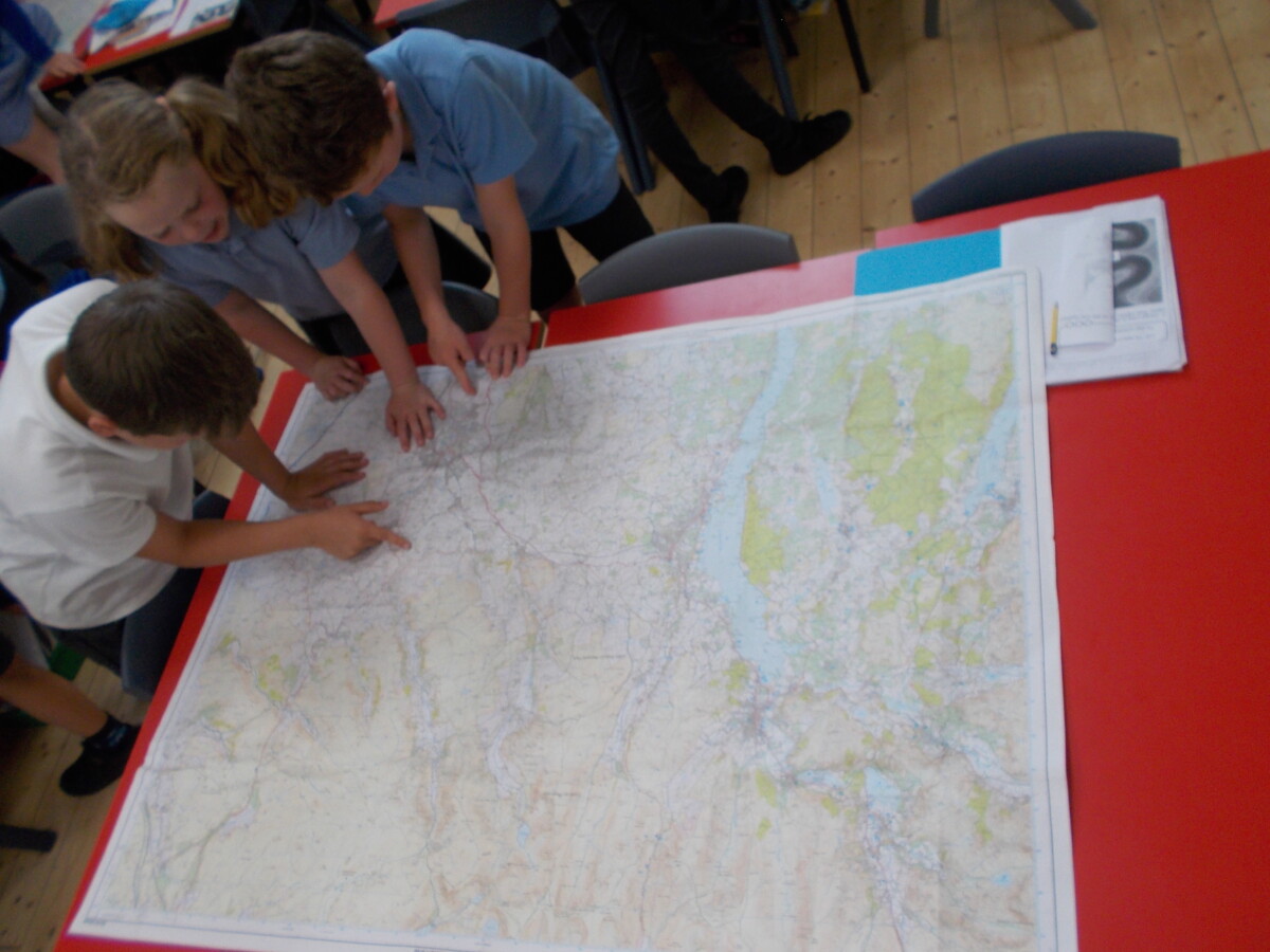
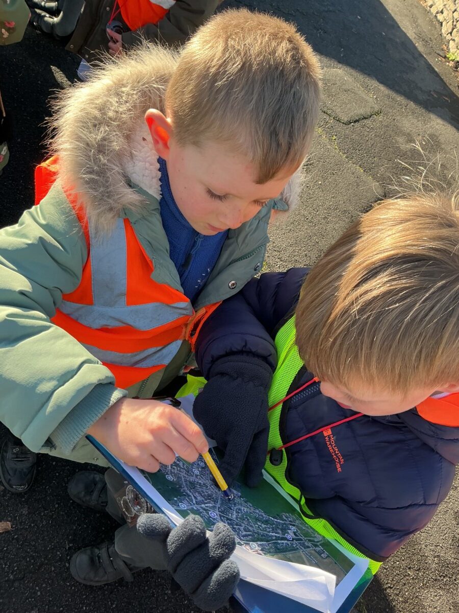
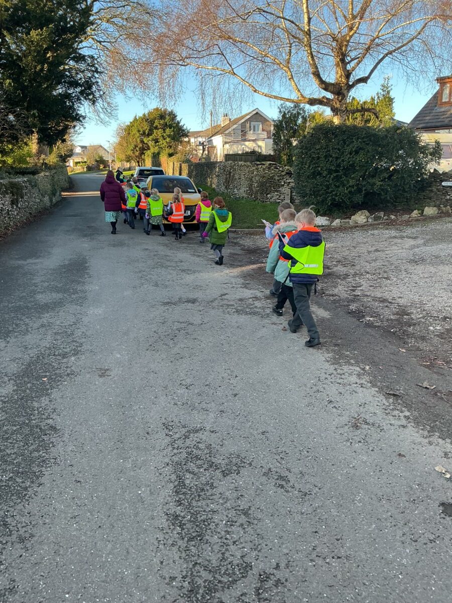
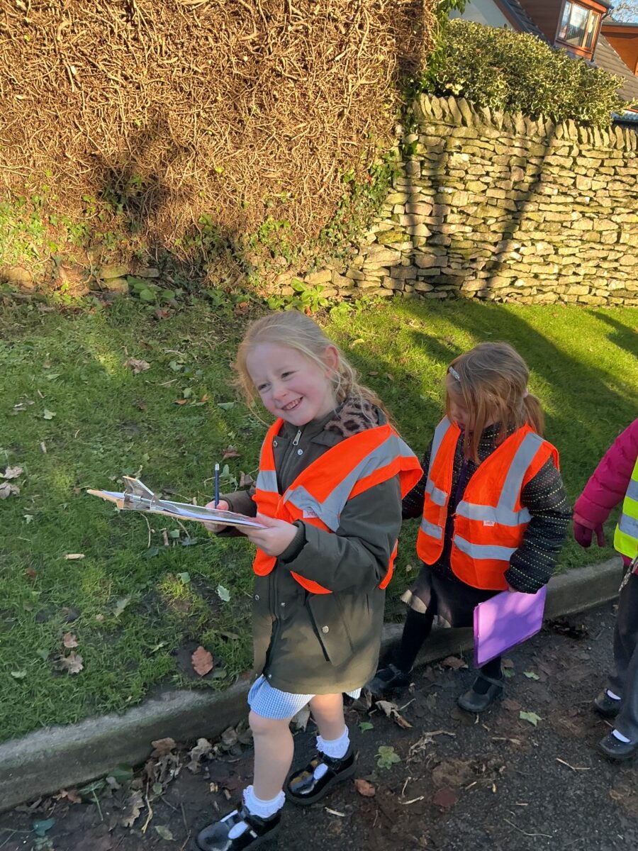
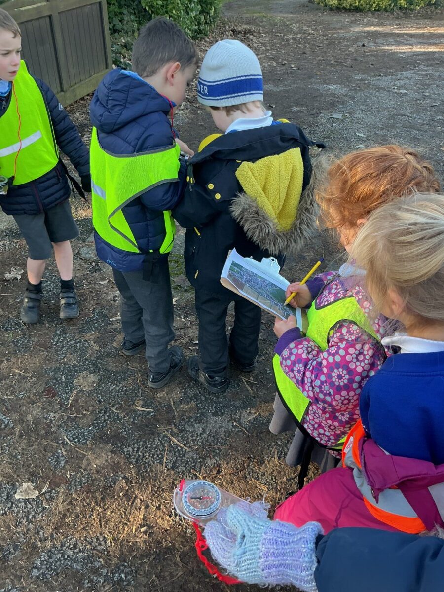
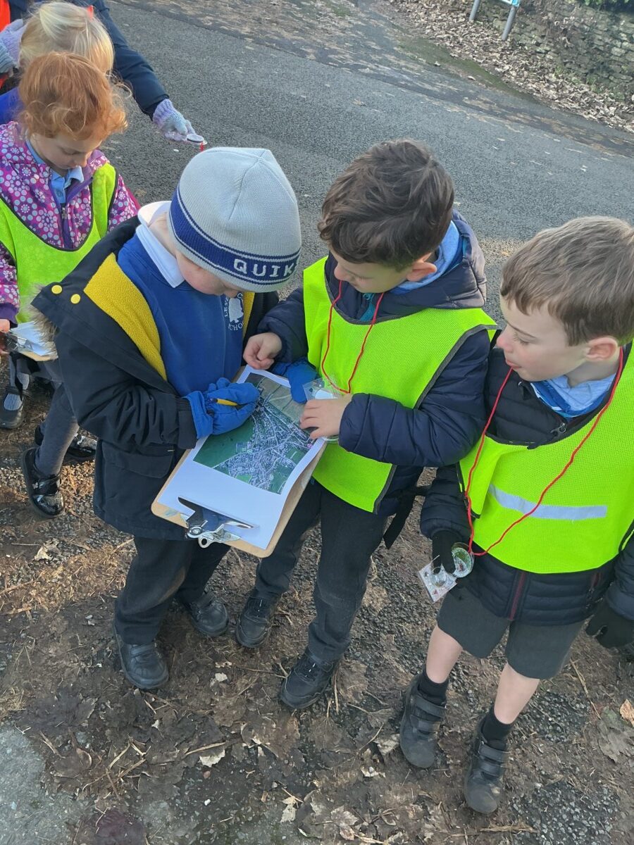
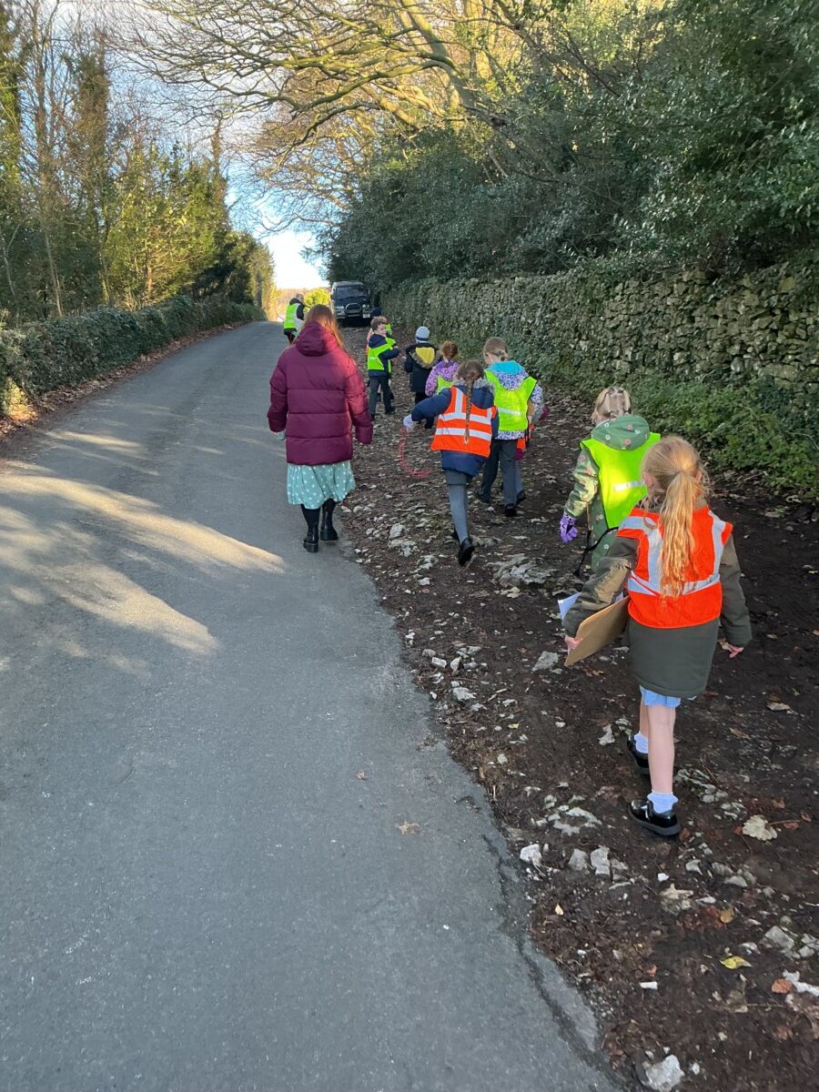
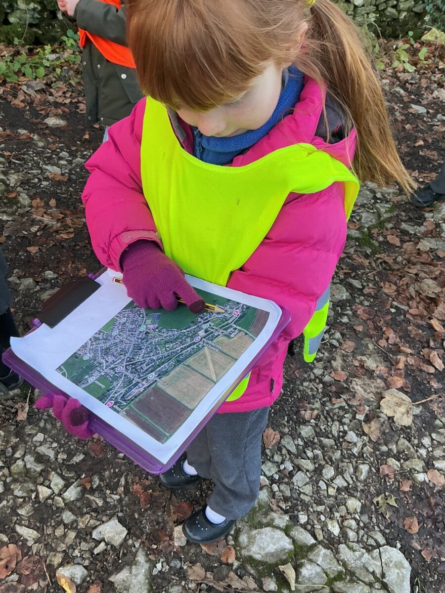
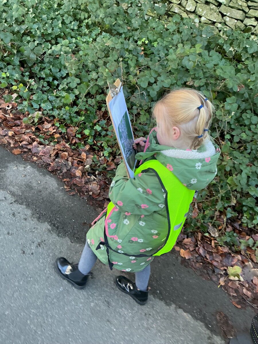
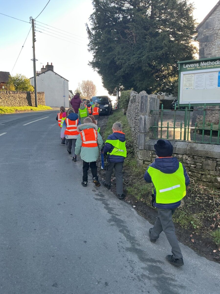
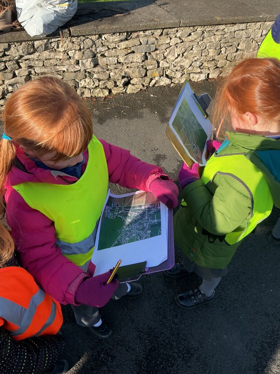
To begin with, we explored contour maps of familiar local places, including Patterdale Hall and Levens village. Looking at areas we know well helped us to understand how contour lines work in real life. We noticed that:

  • Closely spaced contour lines show steep slopes, such as hillsides or valleys
  • Widely spaced contour lines show flat or gently sloping land

By comparing the maps with what we know of these locations, we were able to see how hills, valleys and flatter areas are represented on Ordnance Survey maps.

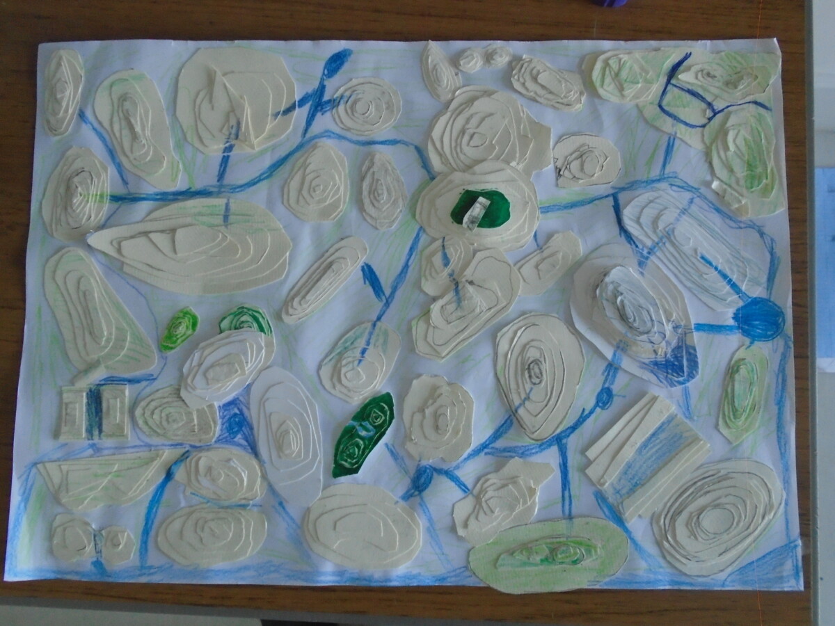
To bring our learning to life, we then designed and built our own mountains using thick card. Each layer of card represented a different contour line, stacked carefully to show increasing height. This helped us visualise how a flat map can represent a three‑dimensional landscape.

Each mountain was unique. Some had:

  • Steep cliffs and sharp peaks
  • Wide, flat plateaus
  • Gentle slopes and rounded summits
  • Valleys and passes between high points
  • In one case, a dramatic overhanging cave opening!

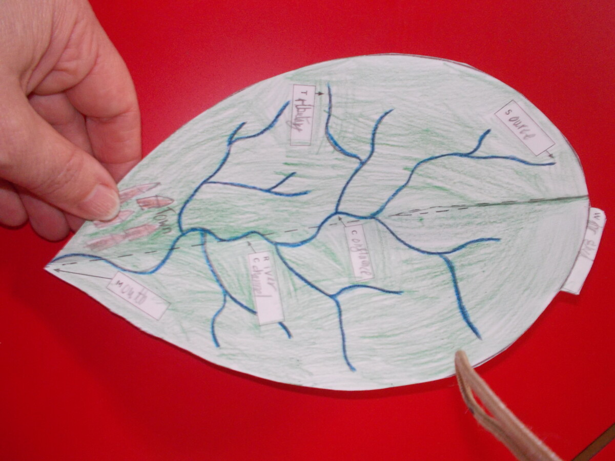
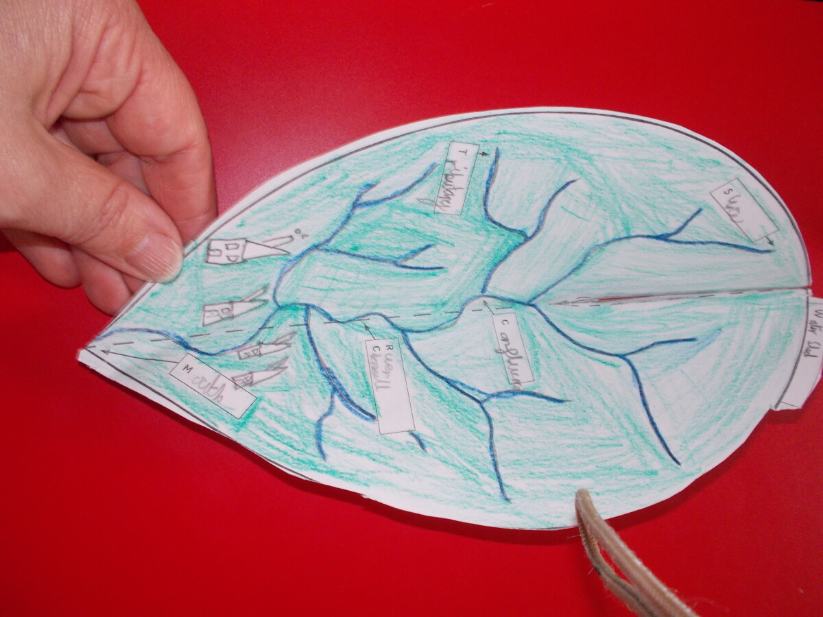
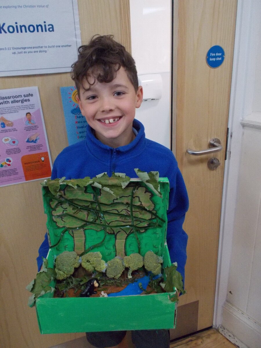
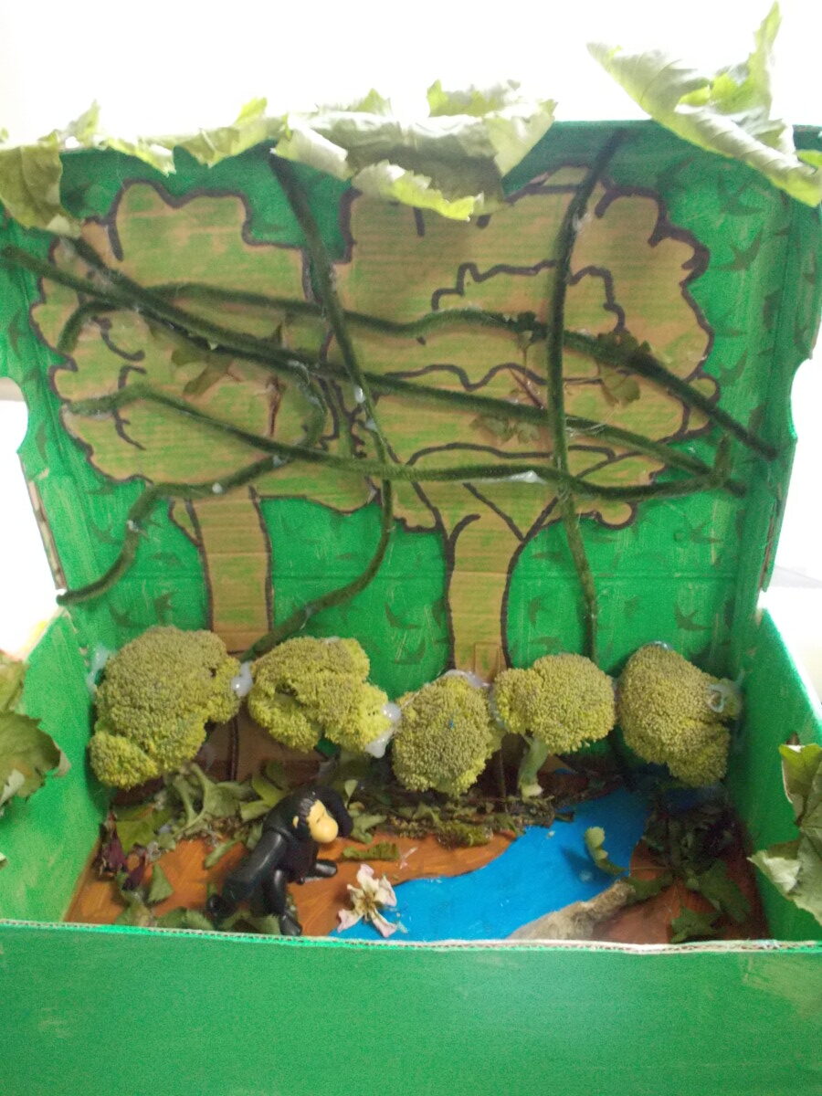
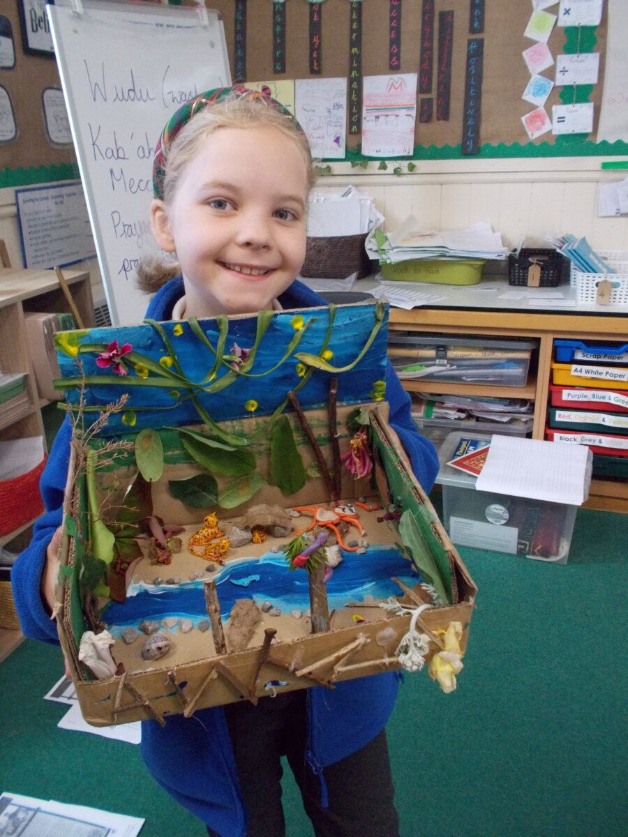
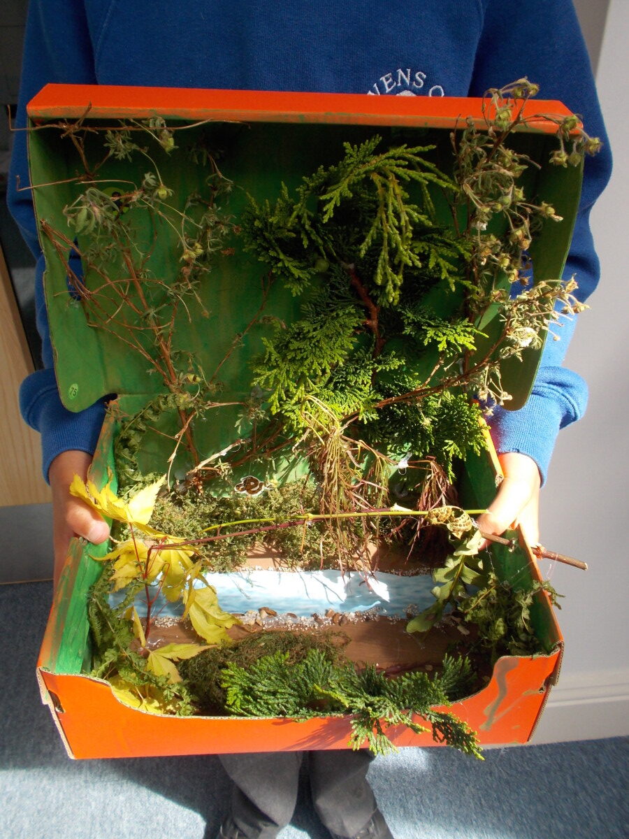
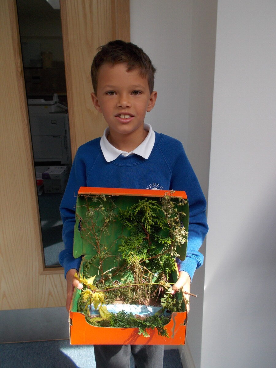
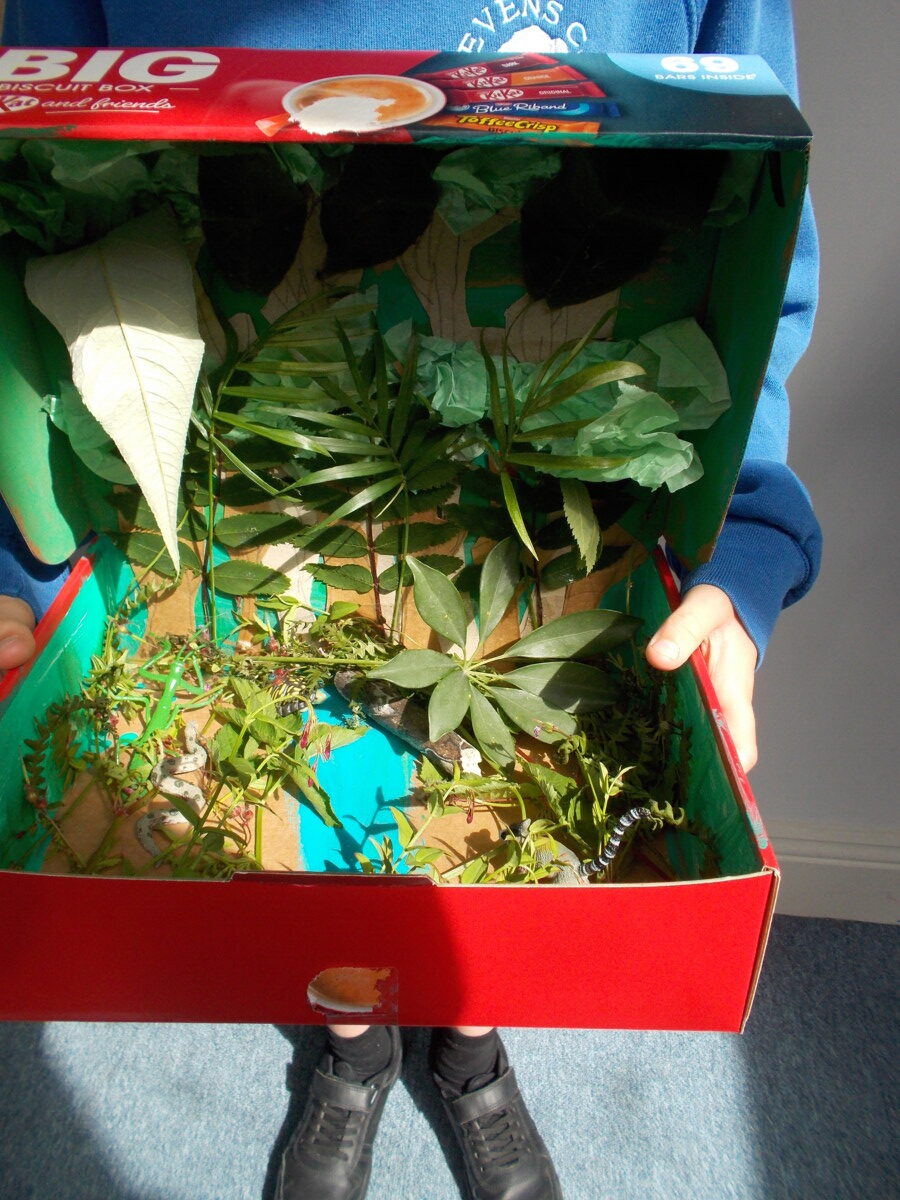
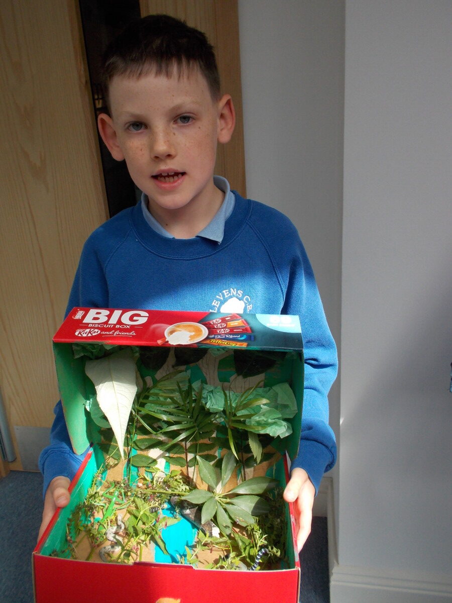
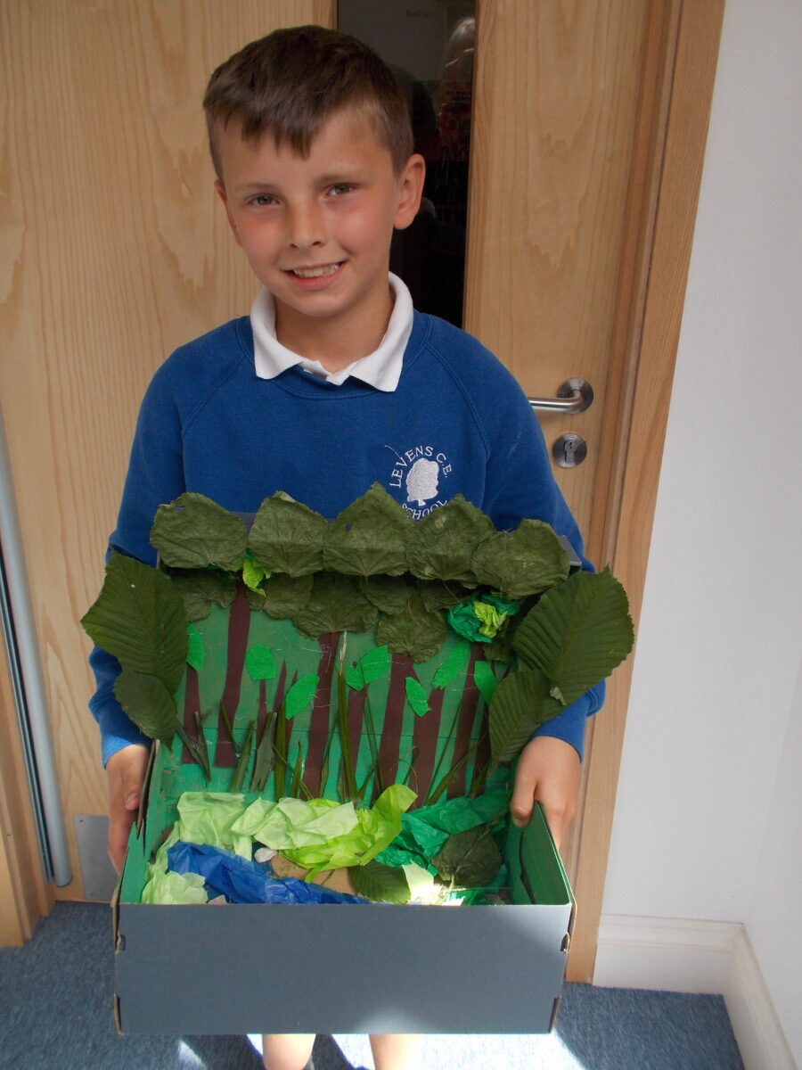
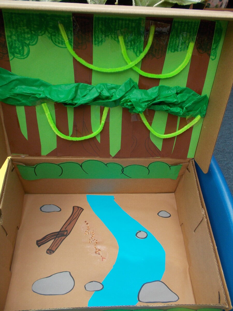
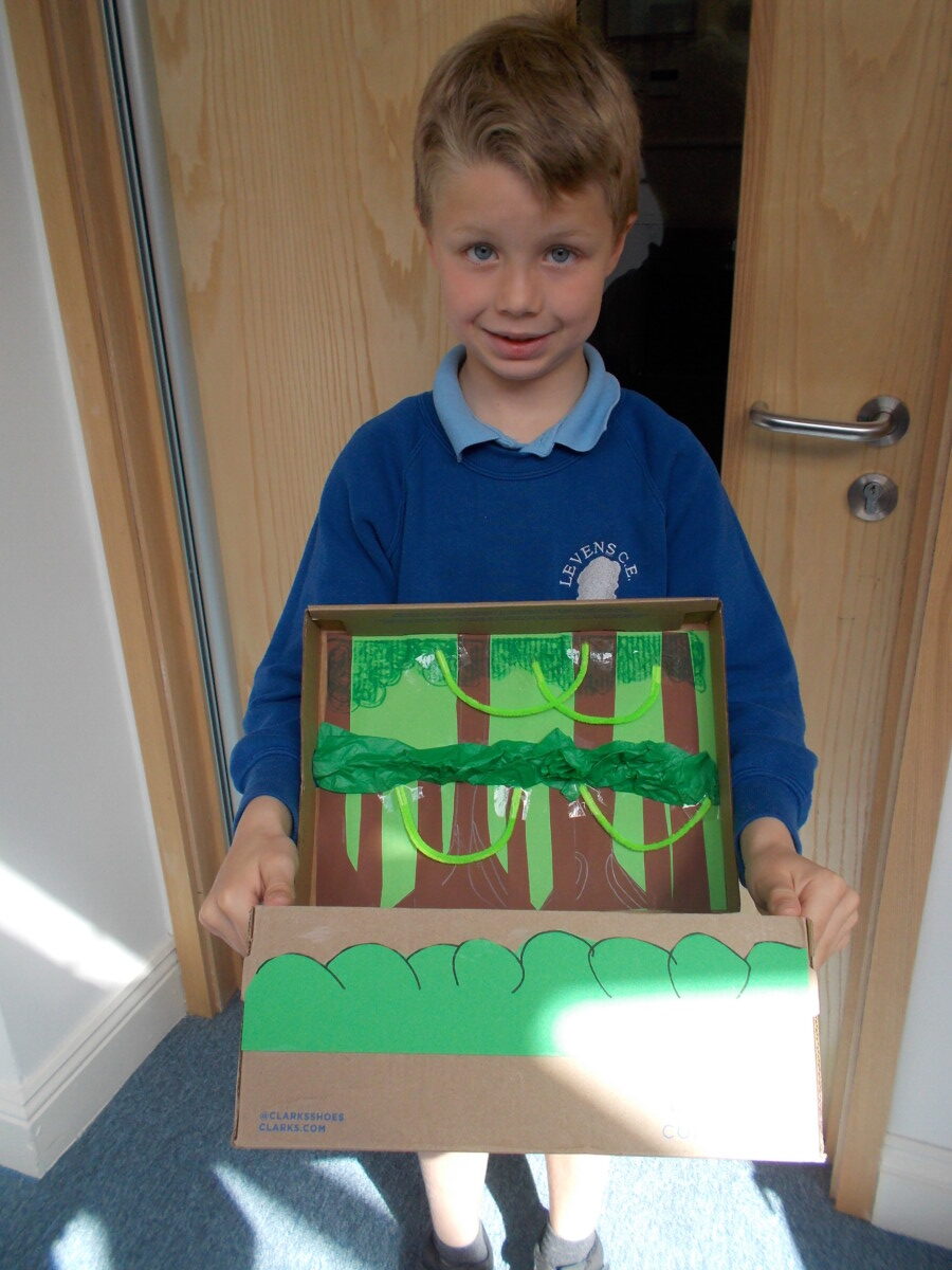
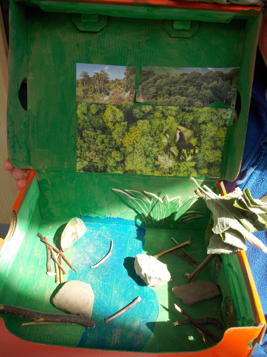
Once our individual mountains were complete, we combined them into one large imaginary mountain range, creating an exciting landscape with a variety of elevation features. Some students also noticed that this is how features like rivers and lakes are formed in nature, so we added some of those too.


Wonderful weather!

Despite the quick changing weather we have had over the past few weeks, Class One have enjoyed exploring all the variations! They have learnt about how wind can be useful and how we can tell if it is a windy day, despite not being able to see the actual wind itself, only its effects. Clouds were next on the list for exploring and the children enjoyed an afternoon cloud spotting outside and noticing the different colours and shapes of them and learning that the more grey and dark a cloud is, the more likely it is to rain! Finally, the children learnt how rainbows were created and enjoyed some rainbow art with Bob, exploring how colours can be mixed to create new ones and made their own, whole class rainbow!


Village Walk

Class 2 went on a walk around the village as part of their geography this term. We focused on looking for human and physical features,  mapping skills and using a compass!


White Scar Cave and Ingleton

Class Three had a fantastic day at White Scar Cave and the park at Ingleton. The children learnt all about limestone rock formations and fossils on the tour of the cave and really enjoyed looking at the stalagmites and stalactites. A picnic followed and then a play in the park at Ingleton.


Orienteering in Class Three.

This half term the children have been learning all about orienteering and team work. This has included a blindfold obstacle course and various challenges on the field. The children have used photographs to locate orienteering stations and have been learning the orienteering symbols.  We have all had great fun doing this.


Fabulous fieldwork!

The sun was shining for Class Three’s trip to Bowness-on-Windermere. The children had a fantastic day carrying out practical fieldwork and gathering their own data on tourism. This included pedestrian and car counts at different locations in Bowness-on-Windermere. Mapping land use and producing a detailed field sketch. The children also interviewed some visitors to discover why they were visiting the Lake District. The children worked incredibly hard and are now going to use their data to draw some conclusions about the advantages and disadvantages of tourism.


Reception visit Martin Mere!

We experienced a wonderful, action packed day on Wednesday, when we visited Martin Mere Wetland Centre in Lancashire. This supported our learning from the autumn term about migration and Chris, our guide for the day, taught us all about the migration of swans to the UK. We were able to see the swans up close during feeding time and even learned a flamingo dance! The highlight of our day however was a visit to see the otters!


Where in the world?

A huge thank you to everyone who sent a postcard to school over the summer. We now have a wonderful display showing a variety of places visited in the UK and the wider world. If you are going away over half term please send a postcard so we can add more destinations.


River basins!

Today, Class 3 continued their rivers topic by learning key terms and their definitions. We made our own river basins and used technical terms such as watershed, river channel, confluence, tributary, source and mouth. We will be moving onto looking at the River Kent next lesson and looking at its course using the OS maps.


Rainforests!

We have loved learning about rainforests this half term. We have looked at the climate and location, layers, animals and their importance and the threats they are facing. We have written some fantastic persuasive letter to Mr Sunak to convince him that he needs to act to stop deforestation.  We have also created our own rainforests in shoeboxes. They are all fabulous!