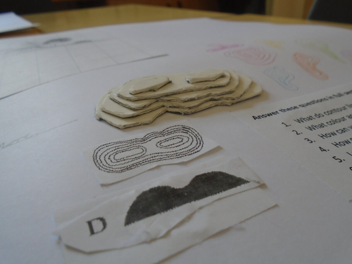
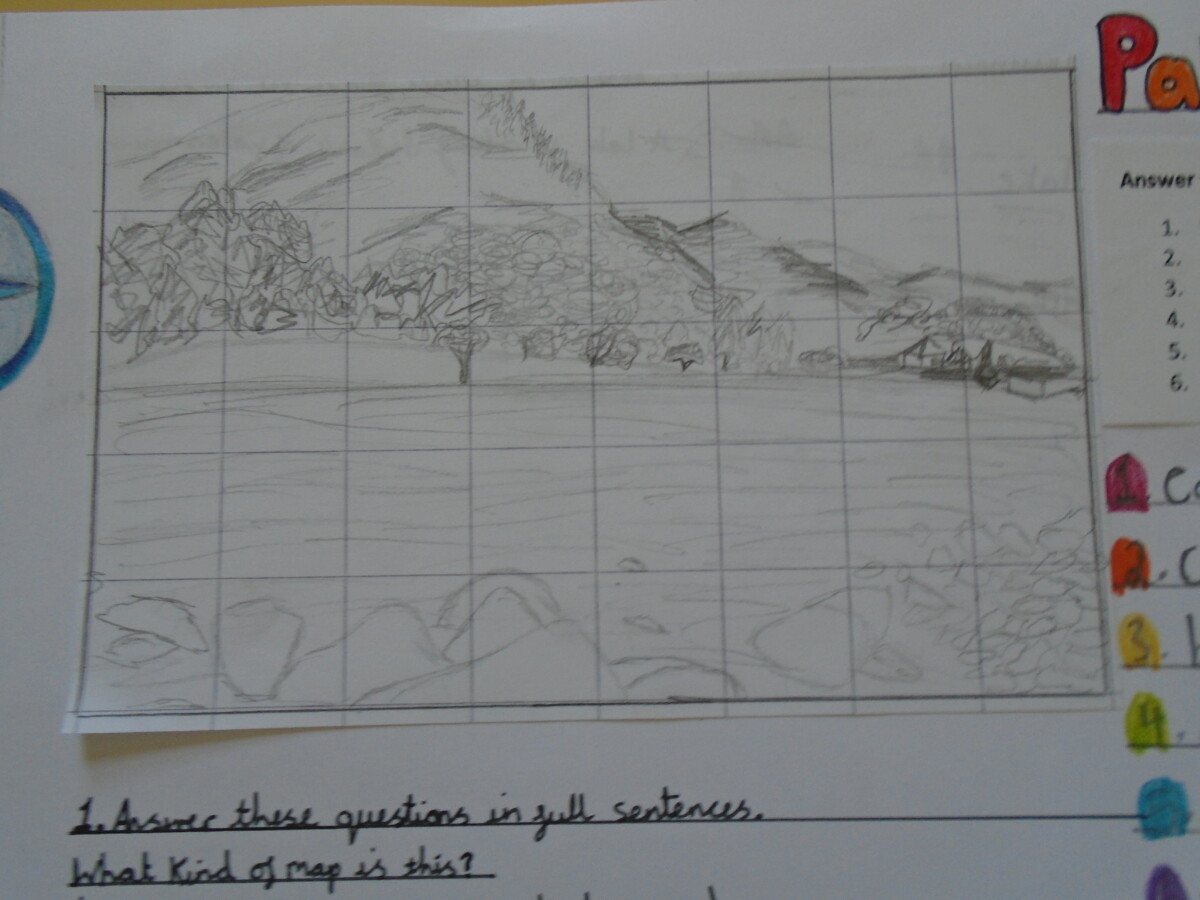
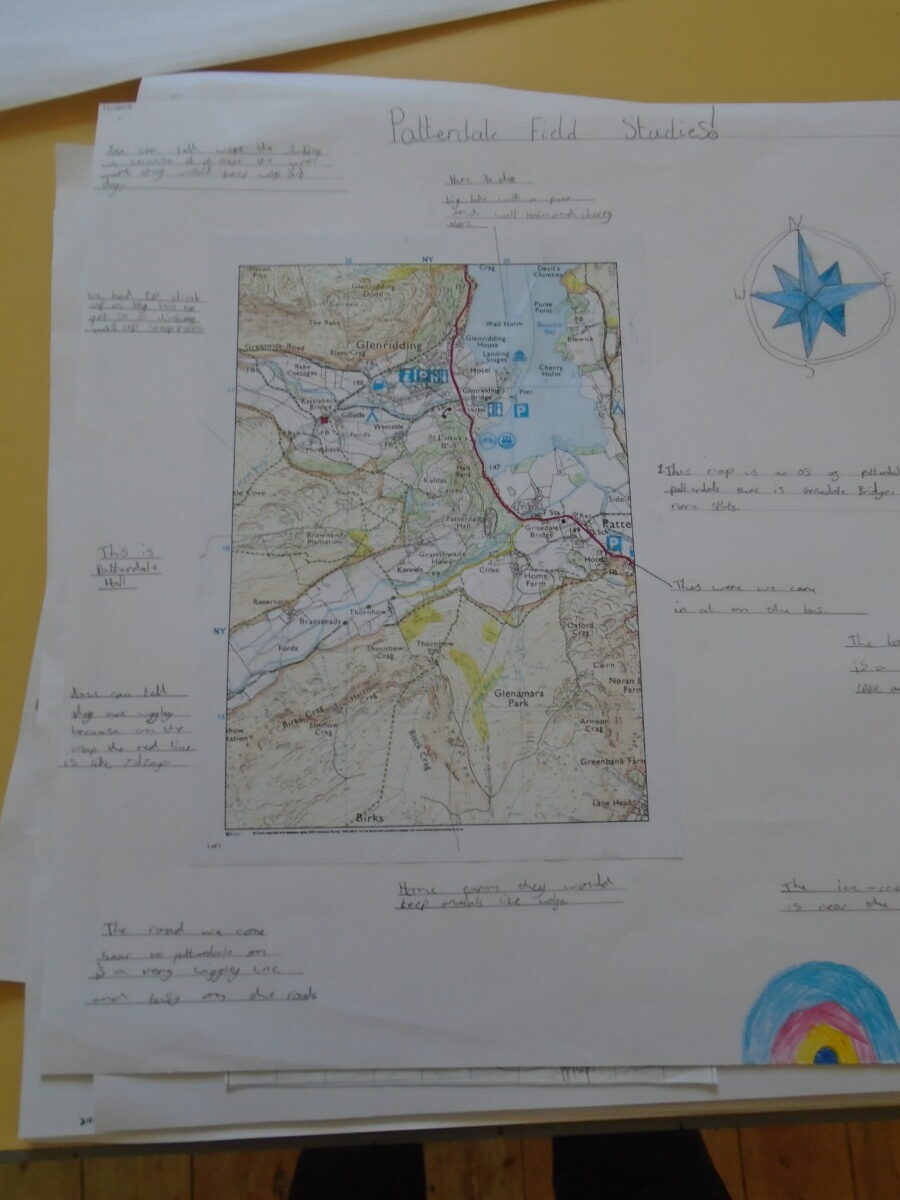
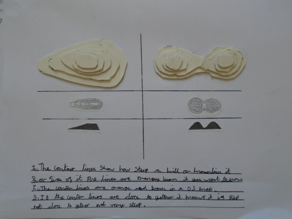
Since our residential trip to Patterdale, we have revisited the experience in our geography lessons. While at Patterdale Hall we created a field sketch of the local area to explore the geographical features we could see. We’ve also looked at the area on an OS map, linking the places we have been to regions on the map, and identifying the key features that can be seen in real life and on the paper. Contour lines have also been an area of study, thinking about how these 2d lines show us the shape of the landscape.
All of our work has been presented on a large poster – take a look at some of the brilliant examples below!